
 EN
EN
 ar
ar bg
bg hr
hr cs
cs da
da nl
nl fi
fi fr
fr de
de el
el hi
hi it
it ko
ko no
no pl
pl pt
pt ro
ro ru
ru es
es sv
sv tl
tl iw
iw id
id lv
lv lt
lt sr
sr sk
sk sl
sl uk
uk vi
vi et
et hu
hu th
th tr
tr fa
fa ms
ms hy
hy ka
ka ur
ur bn
bn mn
mn ta
ta kk
kk uz
uz ku
ku
Tilt Sensor
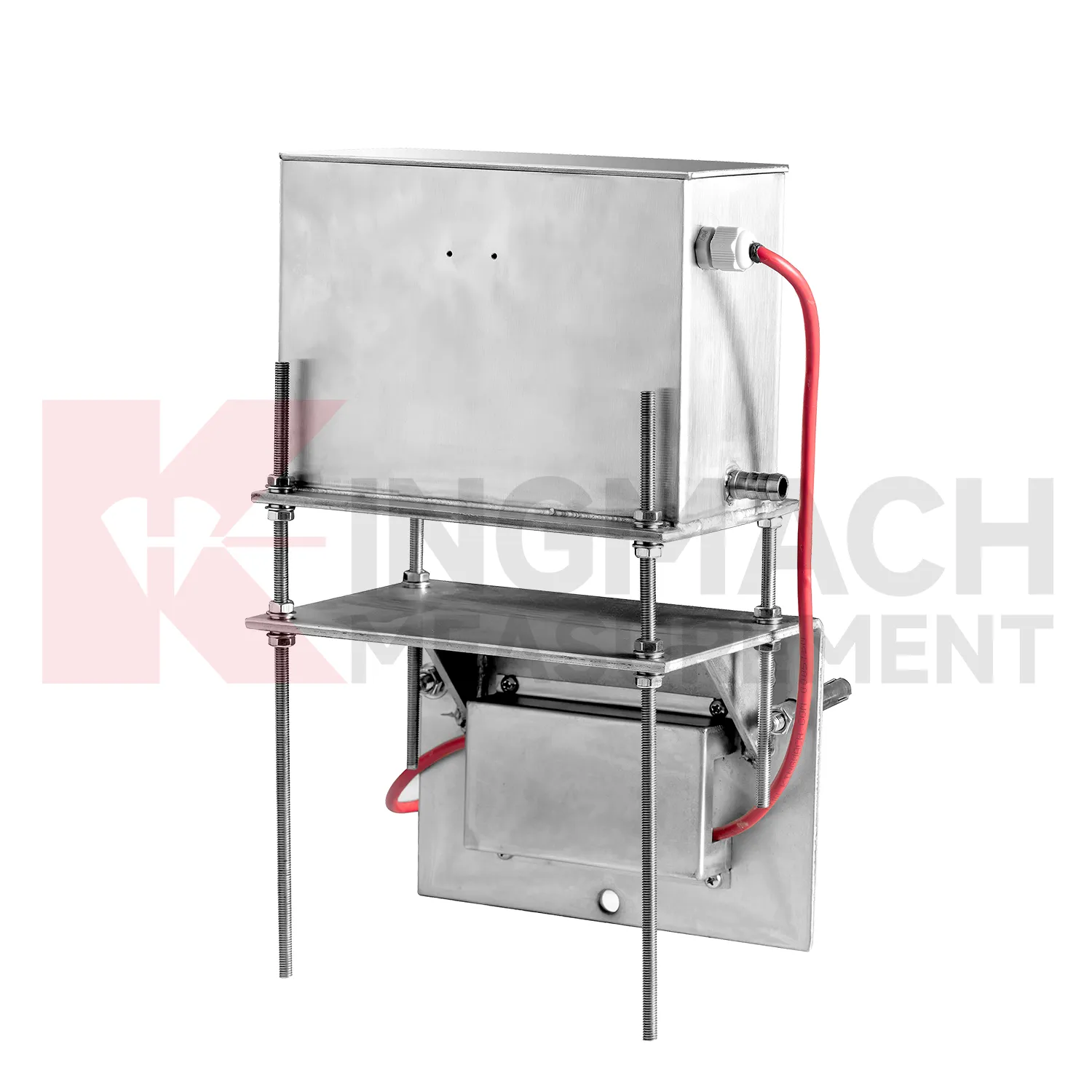
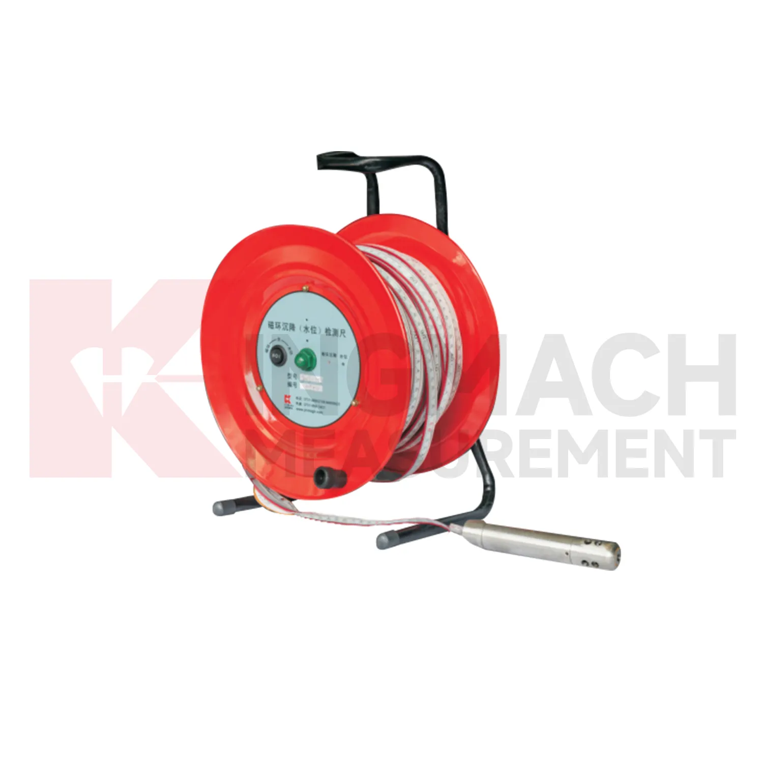
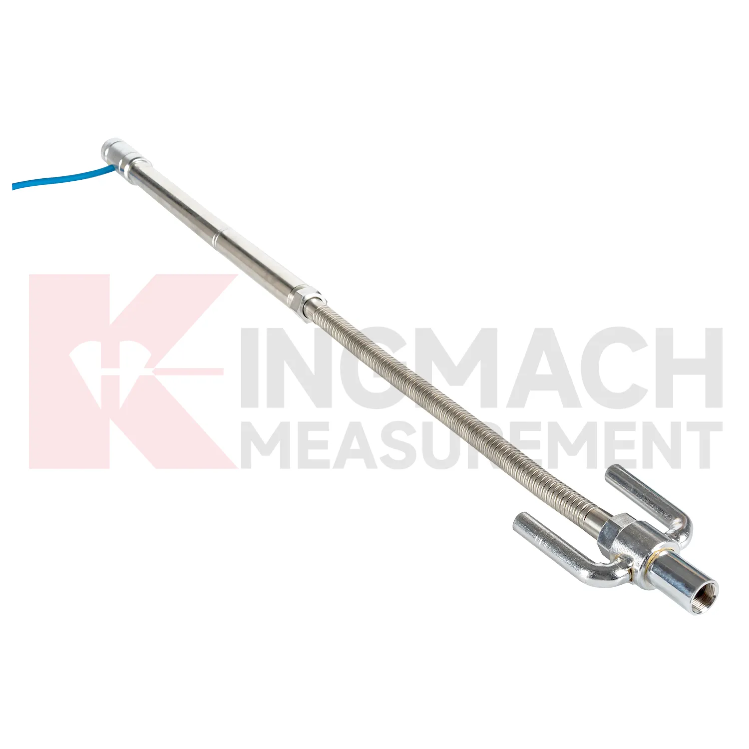
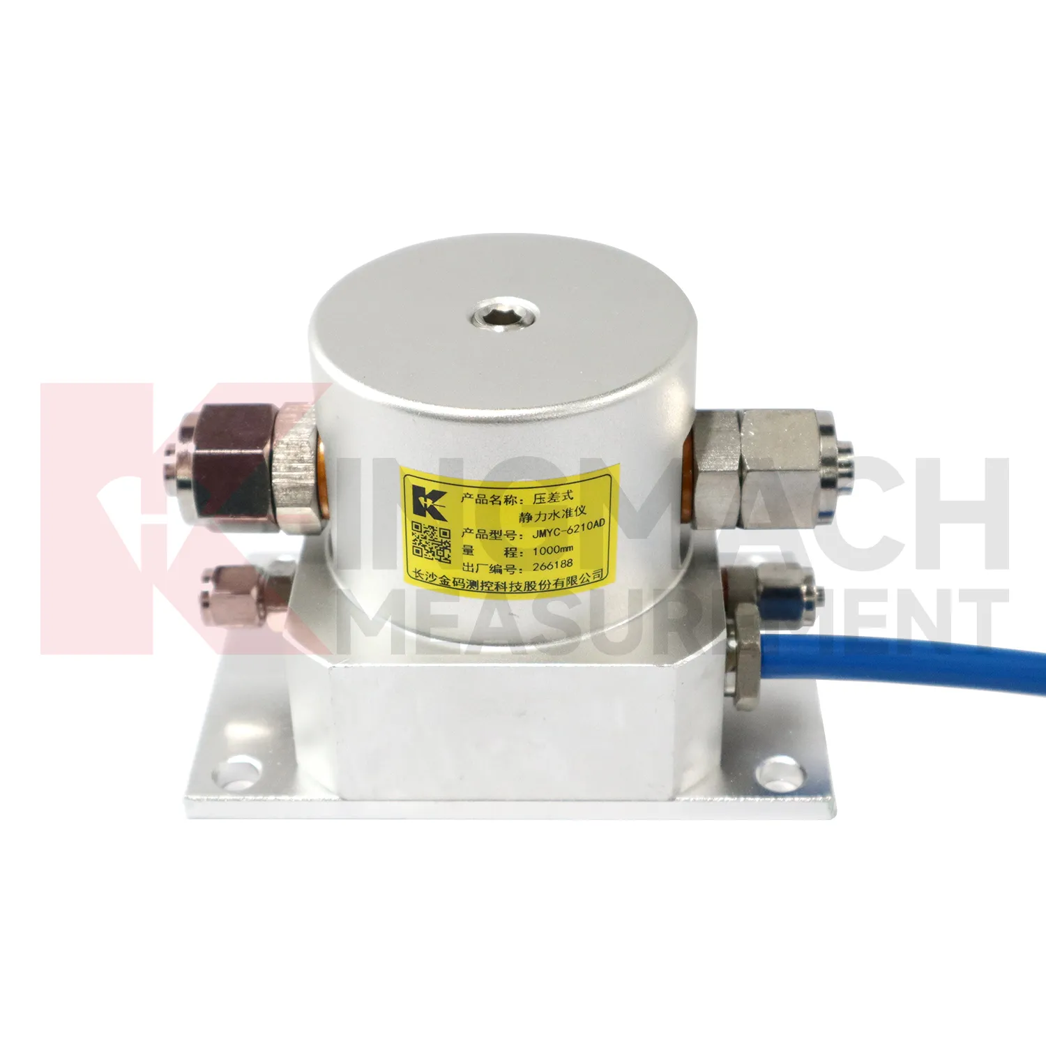
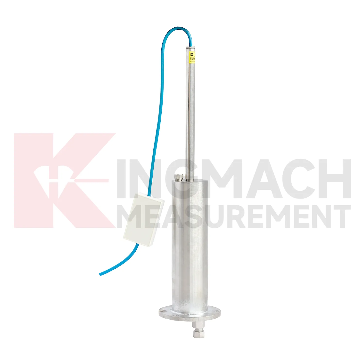
Selecting Kingmach Tilt Sensor begins with the scale and shape of expected movement. A single embedded point, a hydrostatic comparison line, a wide-range profile, and a magnetic ring borehole answer different questions. JMDL-47XXAT covers 100 mm to 400 mm embedded settlement. JMDL-62XXADT and JMQJ-62XXADT provide 0.01 mm hydrostatic resolution for smaller vertical changes. JMYC-62XXAD covers 500 mm to 4000 mm with 0.1 mm resolution and 0.2%FS accuracy for larger movement. JMCJ-1003/1005 provides plus or minus 1 mm depth reading for magnetic ring settlement and water level checks. Selection should consider whether the structure will remain accessible, whether groundwater is part of the risk, whether automatic collection is required, and whether the reference point can remain stable for the full observation period. A short-range high-resolution instrument is not automatically better if the site may move beyond its travel. A large-range system is not always best if the project needs very small early warnings.
Application of Tilt Sensor
In foundation pit projects, Tilt Sensor are used during staged excavation to track base uplift, nearby pavement settlement, groundwater response, and vertical movement around retaining systems. The timing of each value matters because deformation may change after dewatering, support installation, soil removal, rainfall, or backfilling. Kingmach JMDL-47XXAT can be embedded to follow base uplift or local settlement, while JMCJ-1003/1005 can read magnetic ring depth and groundwater level in boreholes. Hydrostatic instruments may be added where several elevations around the pit need comparison against a reference. The site team should record excavation depth, support level, water pumping condition, adjacent road or building observations, and first stable baseline beside the settlement curve. If movement grows quickly, the response should include checking the sensor and reference first, then comparing support force, wall displacement, groundwater, and visual inspection before deciding whether excavation can continue. This keeps settlement review tied to the actual construction sequence, which is essential because a pit may behave differently at each excavation depth and support stage. A clear record also helps distinguish base rebound from surrounding ground loss or reference disturbance. The review file should also include reference condition, recent site work, nearby sensor behavior, and inspection notes so later teams can interpret the curve clearly.
The future of Tilt Sensor
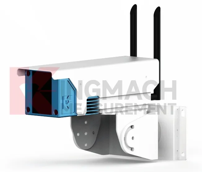
Remote infrastructure will shape the future of Tilt Sensor. Many settlement points sit along long railways, expressways, dams, embankments, slopes, and tunnel portals where routine manual reading is expensive and sometimes unsafe. Low-power acquisition, wireless gateways, solar power, and clear cabinet layouts can reduce unnecessary visits while keeping settlement trends visible. Kingmach hydrostatic sensors and settlement gauges that support remote data collection can fit this direction, especially when RS485 channels, power supply, and reference points are documented well. Remote monitoring should still include scheduled field checks, because tubes, probes, cables, and reference points can be affected by weather and construction. The best future setup will combine fewer emergency trips with better evidence for deciding when a site visit is truly needed. The practical goal is to keep settlement data understandable after the original installation crew has left, so owners can compare old and new readings without reconstructing the field history from memory. The same record should remain readable for designers, contractors, owners, and maintenance teams, because settlement monitoring often continues long after the first construction report is finished.
Care & Maintenance of Tilt Sensor
Care and maintenance of Tilt Sensor should begin before the first sensor is installed. Confirm whether the location needs an embedded single-point gauge, a hydrostatic leveling sensor, a wide-range differential pressure system, or a magnetic ring settlement water level gauge. Kingmach JMDL-47XXAT covers 100 mm to 400 mm embedded ranges, while JMYC-62XXAD covers larger 500 mm to 4000 mm hydrostatic ranges. Choosing the wrong range can shorten the useful life of the point or hide small early movement. The project file should record model, range, structure name, point elevation, expected movement direction, reference point, cable or tube route, and first stable value. During later checks, compare actual movement with the construction stage and nearby instruments. If a value approaches the end of travel, plan verification before the sensor saturates. Range management is maintenance because it protects the continuity of the settlement record.
Kingmach Tilt Sensor
Tilt Sensor become most useful when they are part of a disciplined data chain. The sensor body is only one part of the record. Reference point, water tube route, cable label, borehole number, ring depth, bus address, platform unit, baseline, and inspection note all shape whether the final curve can be trusted. Kingmach products support both manual reading and automated acquisition, so the same project may combine field tape readings, RS485 data, bus modules, and software reports. During commissioning, each channel should be checked against the physical point. During maintenance, data gaps should be compared with power, communication, weather, and cabinet work. This makes settlement monitoring less mysterious and more useful to the people who must act on it. When those details are settled before installation, the sensor has a much better chance of producing a reliable curve throughout the project life. When those details are settled before installation, the sensor has a much better chance of producing a reliable curve throughout the project life.
FAQ
Q: How should Tilt Sensor be maintained?
A: Check reference points, tubes, cables, seals, settlement plates, anchors, probes, cabinets, and channel names at planned intervals.
Q: Should zero values be reset casually?
A: No. A reset can hide real settlement. If a reset is necessary, record the reason, time, old baseline, and new baseline.
Q: What data should be reviewed with settlement?
A: Rainfall, groundwater, excavation depth, filling stage, traffic loading, tilt, displacement, strain, and load data can all help explain settlement changes.
Q: What signs suggest a data issue?
A: Flat lines, sudden jumps after maintenance, impossible values, repeated communication gaps, or disagreement with nearby points may indicate instrument or data-chain problems.
Q: What makes a settlement report useful?
A: A useful report includes point location, model, range, baseline, reference point, latest reading, cumulative settlement, rate of change, and field notes.
Reviews
Daniel Brown
Excellent environmental monitoring sensors. The data is consistent, and the system integrates smoothly with our existing setup.
Ryan Lewis
Fast delivery and excellent product quality. The accelerometers and tiltmeters are highly reliable. Strongly recommend this company.
Latest Inquiries
To protect the privacy of our buyers, only public service email domains like Gmail, Yahoo, and MSN will be displayed. Additionally, only a limited portion of the inquiry content will be shown.
Mia***@gmail.comNetherlands
Dear team, we are interested in your readouts & data loggers compatible with multiple sensors. Do yo...
Charlotte***@gmail.comUnited Arab Emirates
Hi, we require instrumentation cables suitable for harsh environments. Could you advise on specifica...